← Home · Underground Excavations

Geotechnical Excavation Monitoring in Sioux City

Together, we solve the challenges of tomorrow.

LEARN MORE →

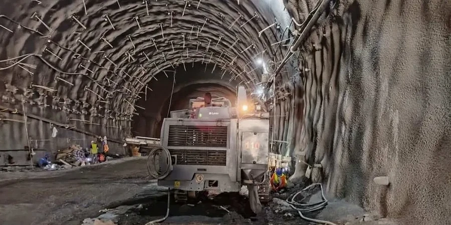
Sioux City sits on a mix of Missouri River alluvium and thick loess deposits that cut across the bluffs. The loess stands near-vertical when dry but loses strength fast with moisture. A deep excavation here can go from stable to sloughing in a single rain event. That transition demands a monitoring program that tracks movement before it becomes visible. Inclinometers, settlement points, and crack gauges feed data to an engineer who reads the trend, not just the numbers. For projects near the Floyd River or along the I-29 corridor, we often pair excavation monitoring with a CPT test to map soft zones that standard borings miss. The goal is simple: keep the dig open and the adjacent structures intact.

Loess can stand vertical for decades, but once the moisture content tips past the plastic limit, the failure happens in minutes.

Methodology and scope

In Sioux City, we see many excavations that hit groundwater earlier than the geotech report predicted. The Missouri River floodplain holds perched water in sand lenses that do not appear on regional maps. Our instrumentation layout starts with that reality. We place standpipe piezometers to track pore pressure and combine them with surface settlement markers every 15 to 20 feet along the setback. Vibration monitors run when rock removal is needed near Wesley Parkway or older masonry buildings on Historic Fourth Street. The data comes in hourly, and threshold alerts trigger a direct call, not just an email. Where cuts exceed 12 feet, we often recommend a slope stability analysis before benching begins. A monitoring plan without a stability model is just a recording device; the two must work together.
Geotechnical Excavation Monitoring in Sioux City
Technical reference image — Sioux City

Local ground factors

The risk profile changes block by block in Sioux City. On the flat floodplain near Riverside, excavations hit saturated sands that can boil into the cut if the dewatering system is undersized. Up on the bluffs in Morningside, the loess is dry but prone to tension cracks parallel to the excavation face. A crack that opens half an inch after a dry spell can widen to two inches after a thunderstorm. Without monitoring, that progression goes unnoticed until a section of the street pavement drops. The cost of a monitoring program runs a fraction of what a slope failure or foundation underpinning job costs after the fact.

Need a geotechnical assessment?

Reply within 24h.

Email: [email protected]

Typical values

ParameterTypical value
Inclinometer accuracy±0.01 ft per 100 ft of casing
Settlement point spacing15-25 ft along excavation perimeter
Vibration threshold (PPV)0.5 in/s for historic masonry
Piezometer typeStandpipe and vibrating wire
Crack gauge resolution0.01 in
Typical monitoring duration4-16 weeks
Data reporting frequencyDaily with threshold alerts

Complementary services

01

Deep Excavation Instrumentation

Inclinometers, extensometers, and piezometers installed per a site-specific plan. We handle the drilling, sensor placement, and baseline readings. Data feeds into a cloud dashboard accessible to the project team.

02

Vibration and Crack Monitoring

Pre-construction surveys of adjacent buildings, followed by continuous vibration monitoring during rock breaking or pile driving. Crack gauges track any movement in real time, with immediate notification if thresholds are reached.

03

Settlement and Heave Control

Surface settlement points and heave stakes placed around the excavation perimeter. Weekly optical surveys detect small movements before they become a problem for utilities or adjacent footings.

Relevant standards

IBC Section 3304 (Excavation safety and monitoring), ASCE 7-22 Chapter 2 (Load combinations for temporary works), OSHA 29 CFR 1926 Subpart P (Excavation requirements), ASTM D6230 (Inclinometer monitoring standard), ASTM D6026 (Data reporting practices)

Common questions

When does Sioux City code require excavation monitoring?

IBC Section 3304 triggers monitoring when an excavation extends below the level of an adjacent foundation and the distance is less than the depth of the cut. Sioux City also enforces OSHA Subpart P, which requires daily inspections and competent person oversight. On paper, monitoring is mandatory when structures or right-of-way are at risk. In practice, any cut over 10 feet near a building or roadway should have instrumentation regardless of the letter of the code.

What does a geotechnical excavation monitoring program cost in Sioux City?

A basic monitoring package (two inclinometers, four settlement points, and weekly readings for six weeks) typically runs US$930 to US$2,310 depending on depth, access, and the number of adjacent structures. Instrumentation with automated vibrating-wire sensors and cloud data delivery sits at the upper end of that range.

How fast can you respond if monitoring shows movement?

Our threshold alerts go out immediately by phone. The engineer of record gets the data within minutes and can visit the site the same day. If the movement indicates a developing failure plane, we coordinate directly with the excavation contractor to adjust the cut slope, add support, or backfill the affected zone.

What instruments do you use for loess excavations in the bluffs?

In loess, we rely on a combination of surface crack gauges and shallow inclinometers set just behind the expected tension zone. Piezometers are less critical in dry loess but become essential if the excavation extends into the wet season. We also run a pre-dig moisture content profile to establish the plastic limit baseline, which is the key number for predicting when the loess will start to ravel.

Location and service area

We serve projects in Sioux City and surrounding areas.

View larger map