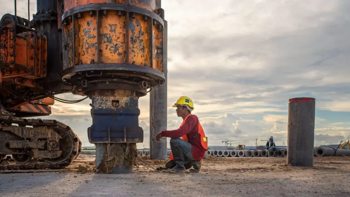
Along the Missouri River bluffs in Sioux City, the distinction between stiff glacial till, windblown loess, and soft alluvial clays can shift within the span of a single lot. We routinely encounter projects where a conventional boring log suggests uniform conditions, but the shear wave velocity profile reveals a velocity inversion that changes the site class from C to D. The multichannel analysis of surface waves (MASW) method cuts through that ambiguity by generating a continuous Vs profile from the ground surface down to 30 meters, delivering the Vs30 value that governs seismic design coefficients under ASCE 7 Chapter 20. For engineers working in Woodbury County, where the 2011 Sargent Bluff earthquake sequence reminded everyone that intraplate seismicity is real, obtaining a measured Vs30 rather than relying on default assumptions is a direct path to a safer, more economical structural design. A seismic refraction survey can complement the MASW dataset when a P-wave velocity model is also needed for rippability or bedrock depth confirmation.
A measured Vs30 in Sioux City can shift the site class by one full letter compared to a conservative assumption, and that single letter difference rewrites the entire seismic load path.
Relevant standards
ASCE 7-22 Minimum Design Loads and Associated Criteria for Buildings and Other Structures, Chapter 20, IBC 2021 Section 1613 Earthquake Loads and Section 1616 Geotechnical Investigations, ASTM D1586 Standard Test Method for Standard Penetration Test (SPT) and Split-Barrel Sampling of Soils, ASTM D2487 Standard Practice for Classification of Soils for Engineering Purposes (Unified Soil Classification System), Kansas Geological Survey MASW SeisImager/SurfSeis Processing Guidelines, NEHRP Recommended Seismic Provisions for New Buildings and Other Structures (FEMA P-2082)
Common questions
What does a MASW survey cost for a typical commercial lot in Sioux City?
For a standard commercial lot in the Sioux City area, a complete MASW survey including active-source and passive-array data collection, dispersion curve processing, inversion to a Vs profile, and a signed report with Vs30 and site class determination typically ranges from US$1,550 to US$2,780. The final figure depends on the number of array locations, whether we use a 46-meter or 92-meter spread, and the complexity of the passive microtremor processing if ambient noise conditions are difficult.
How does the IBC use Vs30 to determine the seismic design category?
Under IBC 2021 Section 1613, the site class is assigned based on the average shear wave velocity in the upper 30 meters, or Vs30, following the classification table in ASCE 7-22 Chapter 20. Site Class A (hard rock) requires Vs30 above 1,500 m/s, Class B (rock) 760–1,500 m/s, Class C (very dense soil and soft rock) 360–760 m/s, Class D (stiff soil) 180–360 m/s, and Class E (soft clay soil) below 180 m/s. The site class then modifies the mapped spectral accelerations Ss and S1 to generate the design spectrum. A measured Vs30 removes the penalty of defaulting to Class D when the actual profile would allow a more favorable classification.
Can MASW penetrate through frozen ground or asphalt in a Sioux City winter?
MASW works through pavement and frozen ground because surface waves propagate through any elastic solid, but coupling the geophones to frozen or paved surfaces requires careful technique. In winter conditions typical of Sioux City, we use a hammer drill to create small pilot holes through frost or asphalt, then plant the geophone spikes into the underlying soil. The high-frequency content of the dispersion curve can be slightly reduced when shooting on a frozen crust, so we compensate with a heavier source and longer passive listening windows. The processed Vs30 is not compromised if the array geometry and source energy are adjusted for the conditions.
What is the difference between active and passive MASW, and why run both?
Active MASW uses a controlled source—typically a sledgehammer or accelerated weight drop—to generate high-frequency surface waves that resolve the upper 10 to 15 meters of the velocity profile with excellent resolution. Passive MASW records ambient microtremors and cultural noise over a longer time window, capturing the low-frequency energy needed to constrain velocity at depths beyond 20 meters. Running both modes on the same array produces a composite dispersion curve that spans a broader frequency range, yielding a more reliable Vs30 and a better-resolved velocity inversion. We run both as standard practice on Sioux City sites where the depth to bedrock can exceed 30 meters.