A lot of contractors in the Loess Hills area get the bearing capacity right but completely miss the liquefaction potential in the sandy alluvium beneath the shallow clays. That oversight can turn a standard foundation design into a post-earthquake settlement disaster. The Missouri River shaped Sioux City’s geology into a layered sequence of loose to medium-dense sands interbedded with silts, and that loose sand profile at depths of 15 to 35 feet is exactly what triggers cyclic mobility during a seismic event. We run the soil liquefaction analysis combining field blow counts from SPT drilling with laboratory grain-size distribution to separate plastic silts from clean sands, because misclassifying a silty layer as sand overestimates the risk. In a city where the alluvial terrace deposits shift from block to block, generic regional maps won’t cut it. Our approach ties directly to ASCE 7-22 Chapter 20 site classification, so the structural engineer gets a design-ready factor of safety against liquefaction, not just a report that says “potential risk exists.”
A loose sand lens at 20 feet depth with 8 blows per foot and 10 percent fines can liquefy under a magnitude 6.5 event – and that layer exists under half of downtown Sioux City.
Methodology and scope
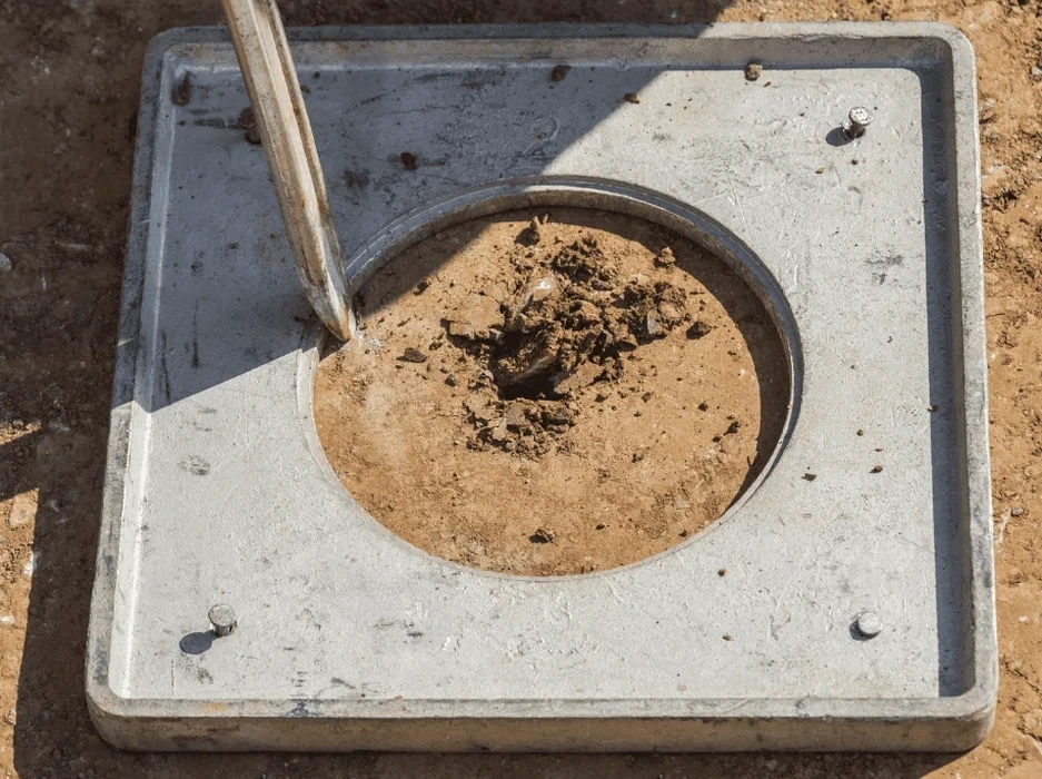
The field gear we bring to a Sioux City site starts with a CME-75 truck-mounted drill rig pushing a 2-inch split-spoon sampler through the loose Missouri River sands to refusal. We log every 6-inch increment per ASTM D1586, because a single 12-inch blow count average can hide a thin loose lens that liquefies first. Back at the lab, the
grain-size analysis with wash-sieve separates the fines content, and the Atterberg limits test confirms whether those fines are plastic clay or non-plastic silt. A sand with 20 percent plastic fines behaves very differently under cyclic loading than a clean sand with 5 percent non-plastic fines. When the project scope demands more stratigraphic resolution, we couple the SPT data with
CPT testing to get a continuous tip resistance and sleeve friction profile, which lets us run the Robertson-based liquefaction triggering correlations without the disturbance inherent in SPT sampling. The final deliverable includes a layer-by-layer factor of safety against liquefaction, calculated using the Seed-Idriss simplified procedure with magnitude scaling for the 7.0 scenario event on the nearest capable fault.
Local ground factors
A few years ago we reviewed a five-story mixed-use building on the old stockyards redevelopment tract along the Floyd River channel. The borings showed 18 feet of stiff lean clay over 22 feet of loose silty sand with SPT values of 6 to 9. The preliminary report flagged low risk because the clay cap looked thick enough. We ran the liquefaction triggering analysis anyway and found that if the design earthquake exceeds the clay’s cyclic softening threshold, the underlying sand loses effective stress entirely. The foundation was a mat on the clay crust, so post-liquefaction reconsolidation settlement exceeded 4 inches differential across the footprint. That kind of settlement cracks shear walls and breaks utility connections. Sioux City’s floodplain silts and sands are not theoretical. The USGS seismic hazard maps put Woodbury County at a 2% probability of exceedance in 50 years for a 0.12g PGA, which sounds low, but the site amplification on loose alluvium can double that. A soil liquefaction analysis that skips the site-specific fines correction or uses a generic water table assumption is a liability, not an engineering deliverable.
Common questions
What depth range do you investigate for liquefaction in Sioux City?
We typically drill to 50 feet below grade or to bedrock refusal, whichever is shallower. The Missouri River alluvium in the Sioux City area can extend 30 to 60 feet deep, and the critical liquefiable zone is usually between 10 and 40 feet. We sample every 2.5 feet through the sand layers to ensure no thin loose lens is missed.
How much does a soil liquefaction analysis cost for a typical commercial lot?
For a standard commercial lot in Sioux City with two SPT borings to 50 feet, laboratory grain-size testing, and the full liquefaction triggering report, the cost ranges from US$2,170 to US$4,820 depending on access, traffic control requirements, and whether CPT profiling is added to supplement the SPT data.
Do Sioux City building permits require a liquefaction study?
Structures classified as Risk Category III or IV under IBC 2021, or buildings over three stories on sites with loose sand below the water table, typically trigger the requirement. The city reviews geotechnical reports against the ASCE 7 site classification; if the site class is E or F due to liquefiable soils, the study becomes mandatory before a building permit is issued.
What ground improvement options work best on Missouri River sands?
Vibrocompaction and stone columns are the most common solutions in Sioux City’s alluvial deposits. The choice depends on the fines content: vibrocompaction works well in clean sands with less than 10 percent fines, while stone columns are more effective in silty sands with 10 to 25 percent fines. We provide the design parameters directly from the liquefaction analysis.